Risk assessments and tools for fisheries management
This page has information on:
Our RASS framework is designed to support commercial seafood buyers and processors in the UK. It provides information on:
- the biological status and management of stocks which are landed or imported into the UK
- the environmental impacts of catching from fisheries on these stocks
RASS applies a framework which scores profiles on a five point risk scale (from 1 very low risk, to 5 very high risk) for four factors:
- stock status
- stock management
- bycatch impact
- habitat impact
Risk scores are derived from our RASS scoring guidance and assessment is informed by a literature review. You can download a copy of this from the link below:
Scores should not be used in isolation to decide on a purchase of seafood from a fishery. Profiles are designed to:
- enable the main features of a fishery to be examined within a structured format
- inform buyers on questions they might ask about a fishery and where improvements could be made to improve sustainability
In 2022 we moved to a bespoke enquiry service for RASS. Terms of use are as set out in the document linked below:
You can access recent examples of RASS profiles from the links below:
-
RASS profiles; Arrow squid (Nototodarus gouldi, N. sloanii)
-
RASS profiles; Cod (Gadus morhua) in Northern European and Scandinavian waters
-
RASS profiles; Haddock (Melanogrammus aeglefinus) in Northern European and Scandinavian waters
-
RASS profile; Mackerel (Scomber scombrus) in subareas 1–8 and 14, and in Division 9.a (Northeast Atlantic and adjacent waters), captured by pelagic trawls
If you are a commercial seafood buyer looking for a bespoke RASS profile please contact:
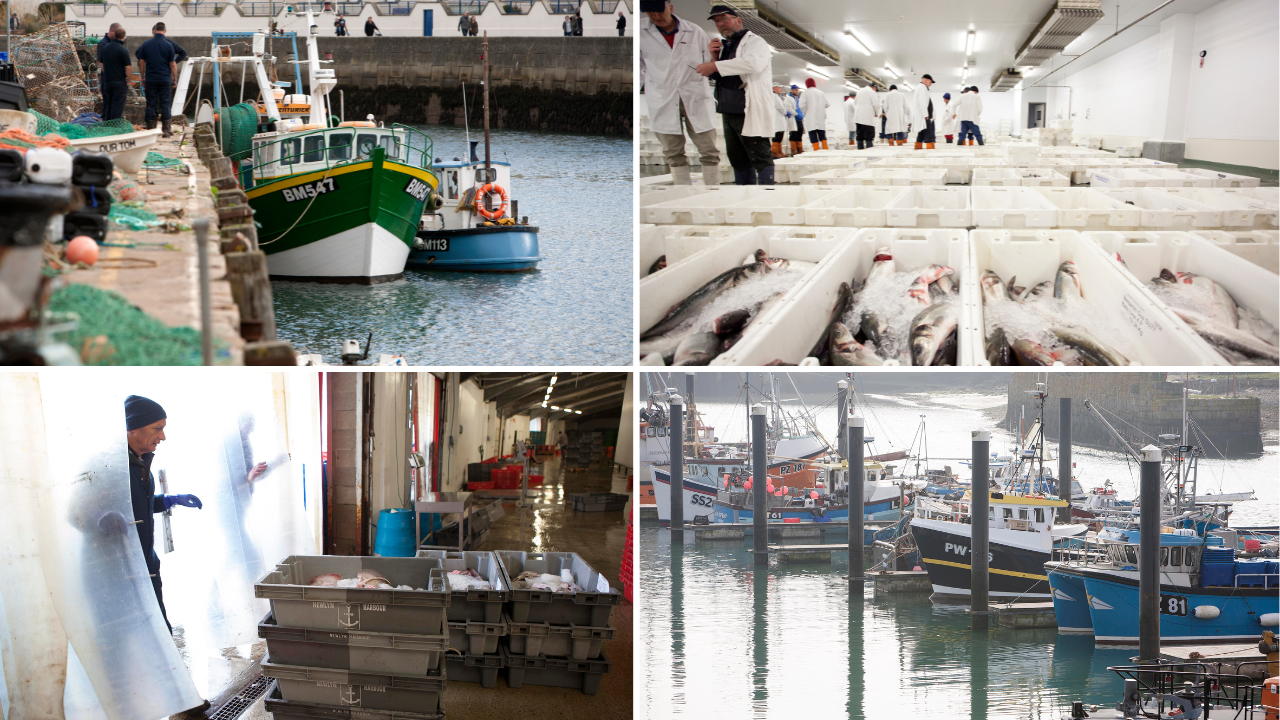
We’ve also been active in developing and implementing methods for understanding the ecological effects of fisheries on a regional scale.
Our latest Ecological Risk Assessment (ERA) looks at the mixed fishery in Southwest England. It applied risk assessment tools to assess the extent that commercial fishing in the fishery was impacting:
- commercial species
- habitats
- and endangered, threatened and protected (ETP) species
The Southwest ERA was overseen by a Client Group consisting of industry representative from across the supply chain. Work was delivered by independent consultants Inmara LTD and an Expert Panel chaired by Dr Geoff Tingley provided technical expertise to underpin the risk assessment.
Once the ERA report was finalised the Client Group developed an Action Plan for work to be delivered over the next 3 to 5 years to address high risk scores within the ERA.
More information on the Southwest ERA in a blog from our Regional Manager in South West England from the link below:
More information on the Southwest ERA in a blog from our Regional Manager in South West England from the link below:
You can get a copy of the Southwest ERA Action Plan from the link below:
For more information about the ERA or to request a copy of the full technical report please contact:
You can also download an older Ecological Risk Assessment report from 2014 from the link below.